Mount Bartle Frere is the highest mountain in Queensland sitting at 1622m above sea level & the trail from Josephine Falls is 15km return.
Pack Contents
- 4L of water
- 4 individual packets of weetbix biscuits
- SOL Survival Bivvy
- Head lamp
- Torch
- Knife
- KTI Personal Locator Beacon
I like to have a days rest before the working week starts again and I wasn't going to go up and down all in one day, this ensued that I started the walk on a Friday night after work at 9pm.
The walk is broken up into 3 main camps so to speak, the first being Big Rock camp. Big Rock camp is 3km into the walk, these first 3km are regarded as easy walking as you only rise 400m by the time you reach the camp which is also located on a creek, which makes for a good place to fill water bottles however you should not need to fill water bottles by this point.
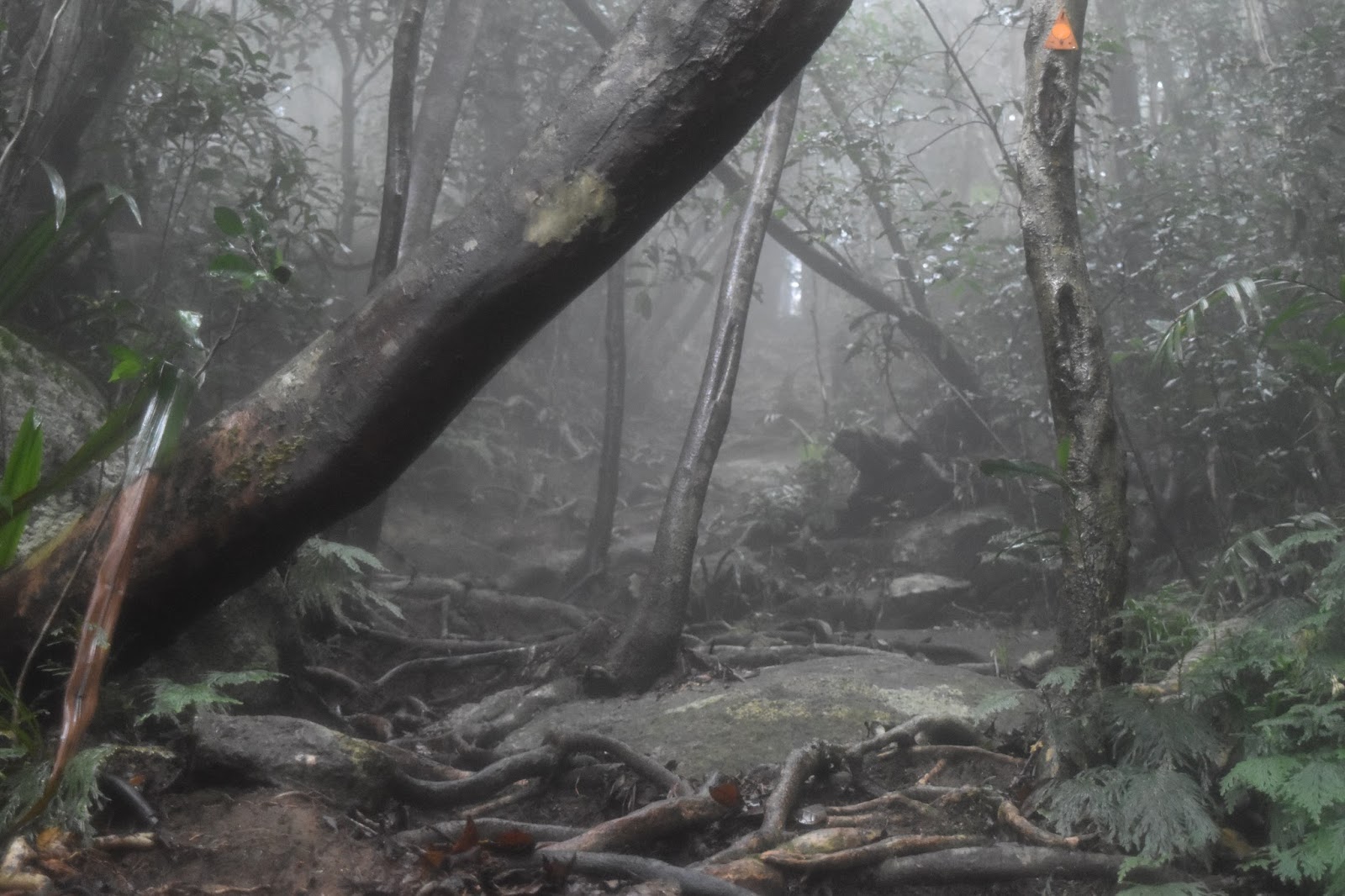
The walk to Eastern Summit camp section 2 is the bulk and most definitely the hardest part of the walk, rising 1000m above sea level over 4km. Drenched in sweat and following the path lit by my head light I was exhausted, my calves were cramping & the fog had started moving in limiting sight to under 3m in front of me. I tried to push through the pain but my legs kept giving out from cramping making it harder and harder to get up each time. I had been walking for 3 hours now and was only 5km into the walk let alone only half way up the accent at 820m above sea level. I pulled out my SOL Survival Bivvy took my boots got inside and lay down to go to sleep on the path in the middle of nowhere on a 10degree slope. I fell asleep for an hour before waking up and energised to get to the Eastern Summit camp, it took me a further 2hours to climb another 2.2km & 630m in altitude to the Eastern Summit camp.
 |
| Metal shed I slept in |
I ended up spending the next 2hours sitting up shivering continuously waiting for any light to break through, finally I could see outside. I spent another 15mins fighting in my head if I should continue on I couldn't feel my hands.
 | |
| Sign on walking to the Summit |
I hadn't endured the night before and come all this way to turn around now with the weather blowing over and no vision I proceeded onward. An hour of climbing over boulders that were a combination of sharp, extremely slippery, wet and walking up the ever small path I reached the summit. I was over the moon I had made it! Do I wait for the mist to clear or do I proceed to head back down with no views and just the feeling of accomplishment. I headed back down as all I wanted was a hot food and a shower.
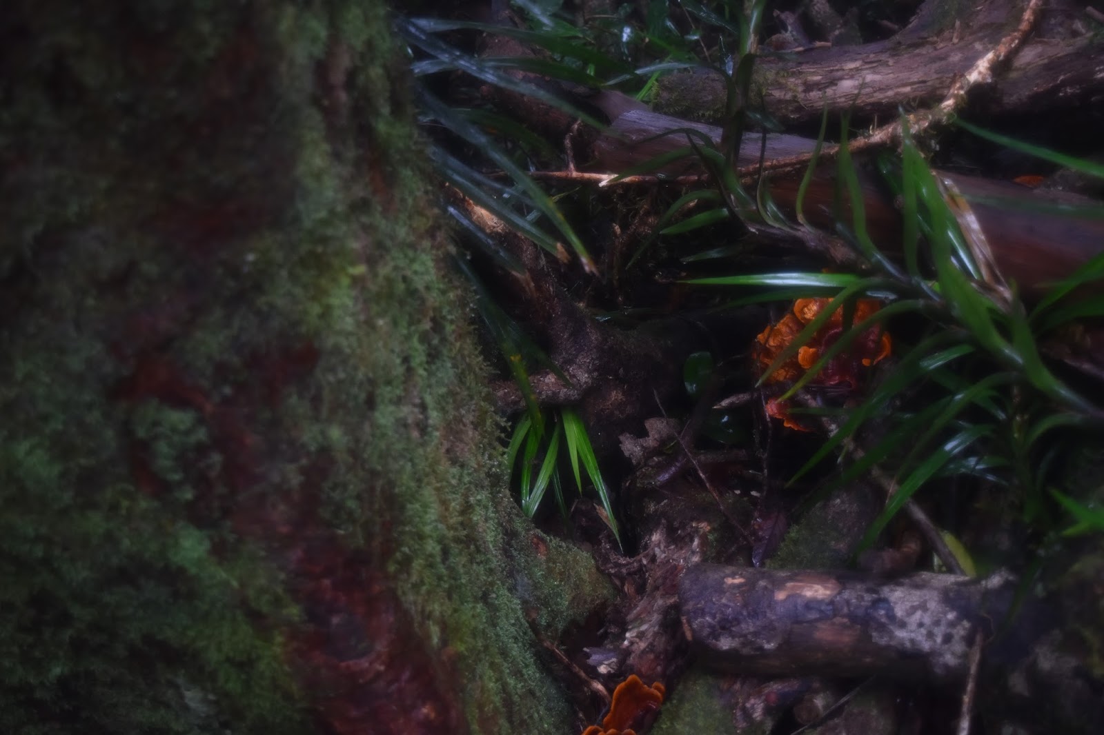
Below are some pictures I took while on the trail.